
Context
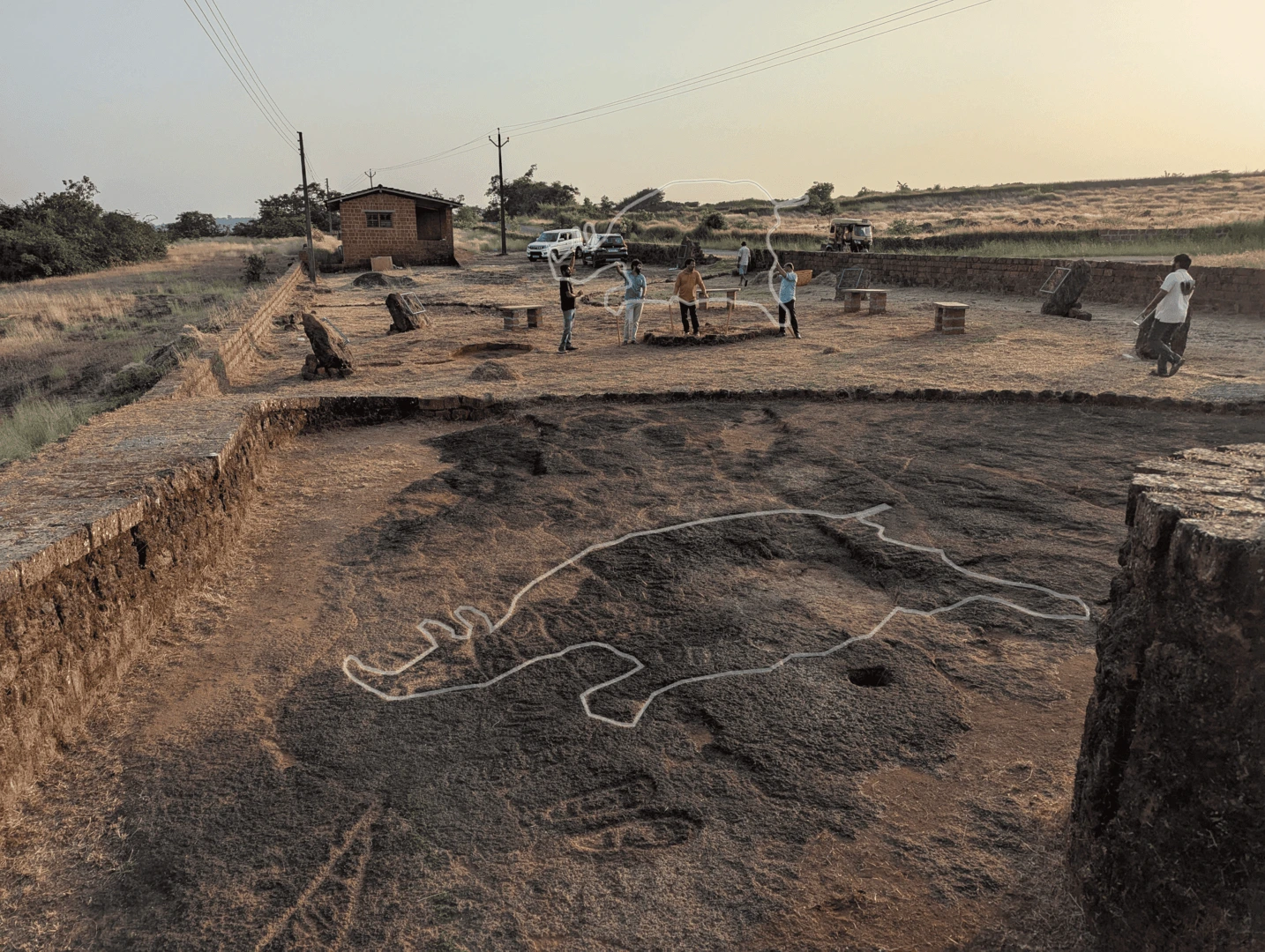
Konkan Geoglyphs and Heritage Research Center is an NGO working towards documentation, conservation, research and tourism development for the the ancient geoglyph sites found across the Konkan Region. With over 10,000 carvings discovered across roughly 200 sites, these hold significant value as human cultural heritage. Largely undisturbed for thousands of years, they face major challenges today by accelerated human activity on the Konkan Plateau. With many of these sites are situated on private properties, the team’s efforts have spread awareness among land owners, locals and administrators around their importance as heritage accelerating conversation efforts.
The heavy monsoon resulting in constant wet reflective layer over the carvings followed by, vegetation overgrowth during the winter season, the team has to work in an extremely short 3-4 month window to clean the sites and perform archeological documentation which, form the base for conducting further research.
Documenting these, many shallow, at times extremely difficult to spot, carvings into the porous literate rock, located in often remote location make the documention operations extremely time and resource sensitive. The team has been using a drone to capture the photographic plan of the sites adding much needed speed to the activity but, extracting information from images into GIS software is carried out by manually tracing out the vector outlines into GIS software and adding metadata to the datasets.
Requirement
I got in touch with the organization for a 3-day discovery session at their Research Center in Ratnagiri city where I spent the days with the team understanding the challenges they face, the scope of activities they conduct and the workflows the team follows, providing me with an opportunity to ideate design and technology interventions to help solve some of their pain points. What they needed was an efficient photogrammetry workflow to quickly scan the sites into hi-resolution 3d model enabling orthophoto generation and access to detailed site visualization digitally. Also, needed was an efficient workflow to accurately isolate, document, and export these historical site layouts into GIS mapping software.
Solution
I captured and processed over 1200 field photos into a dense geocoded 3D point cloud of the Chave Dewood rhinoceros geoglyph. Based on this fieldwork, a custom photogrammetry SOP was developed, establishing optimal camera angles and lighting balances specifically calibrated to counteract rock reflectivity and shallow carvings.
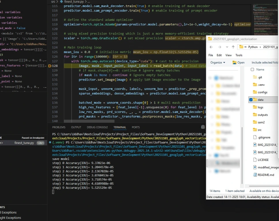
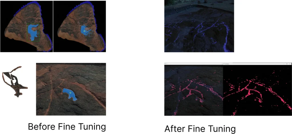
To solve the primary technical roadblock was the labor-intensive process of manually tracing and extracting rock carvings for GIS software, as an alternative for expensive multi-spectral imaging rigs, a computer vision solution was prototyped using Meta’s open-source Segment Anything Model 2 (SAM 2). A precise, custom-labeled training dataset of roughly 100 images was manually masked. By fine-tuning the foundation model on this targeted data, a specialized checkpoint was built that successfully isolated shallow geoglyph boundaries from the surrounding porous rock textures automatically.
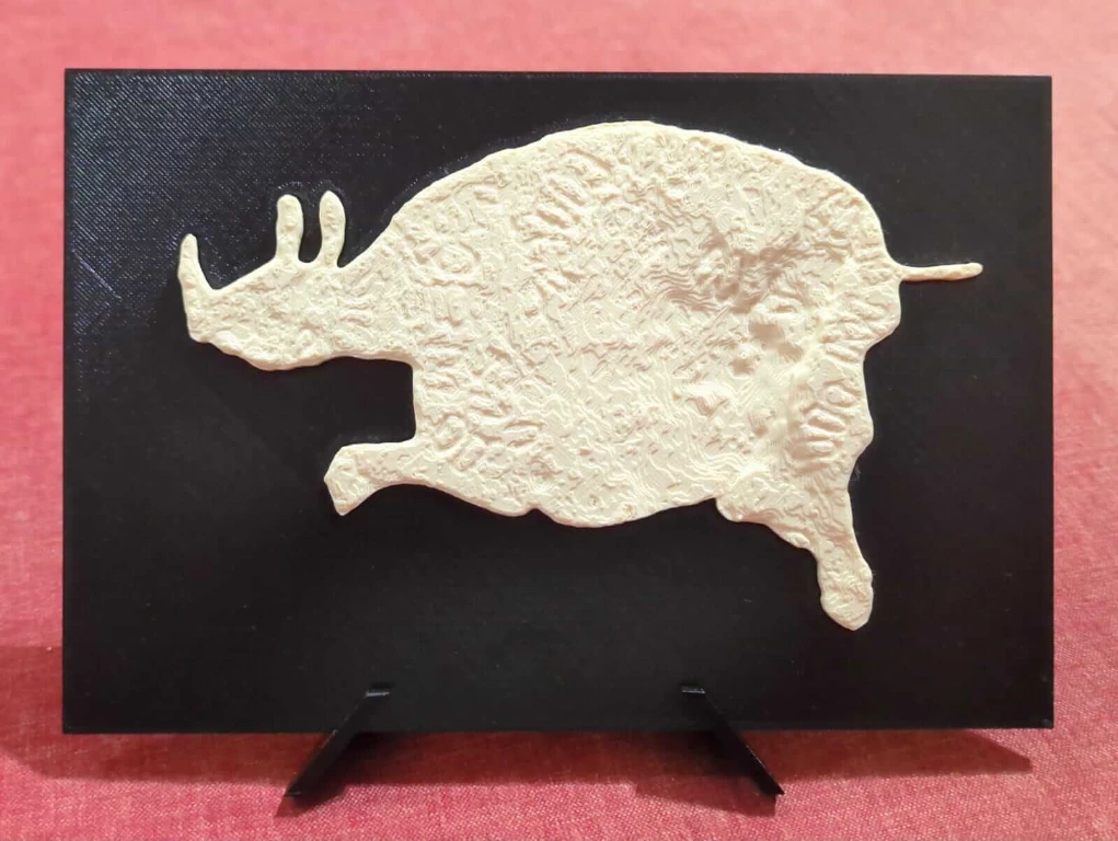
In an effort to create an a souvenirs, a scaled down replica of few geoglyph that visitors could take back with them; using raw 3D scan data, a two-piece, multi-colored snap-fit 3D model was designed. This modular approach allowed the physical pieces to snap together cleanly, cutting 3D printing time and material costs down to a fraction of standard production baselines.
Outcome
The engagement resulted in a fine-tuning computer vision prototype that can isolate hard-to-see carvings automatically, bypassing specialized hardware requirement and accelerating cultural heritage mapping efforts. Also resulted, were low-cost 3d models for 3d printed souvenirs products.